jarod73260 ®   Yesterday 04:47
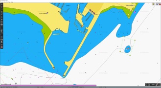
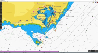
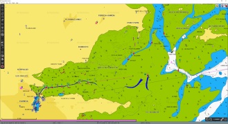
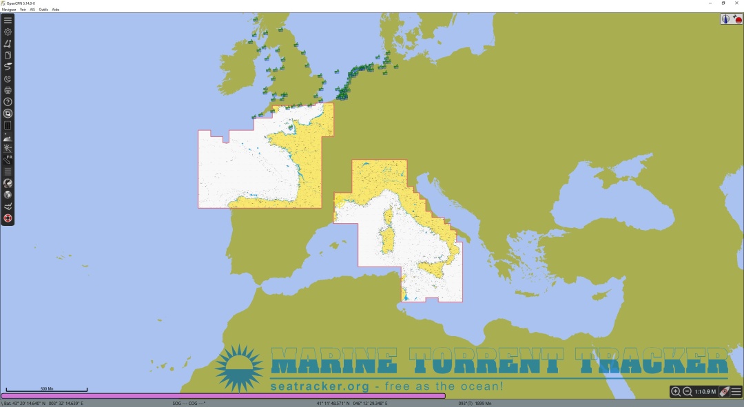
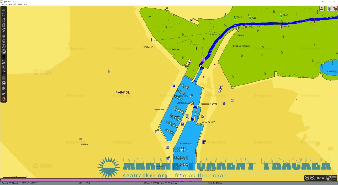
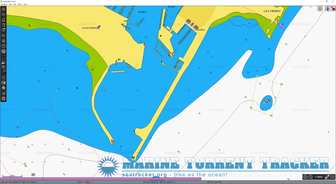
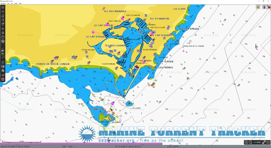
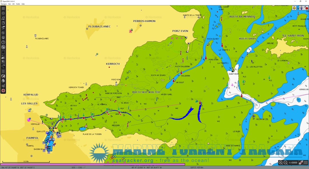
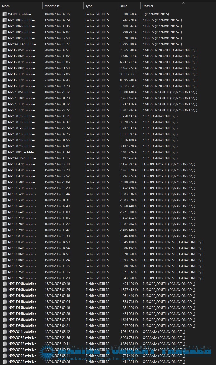
After many long months of arduous and complicated work, I have finally succeeded in completing my project: to create a precise yet manageable Navionics world charts . I started with a list of Navionics charts, which I then combined with the IHO map grid to obtain maps allowing zoom levels from Z3 to Z17. 130 GO for all the charts.
1
Reply
   Attach screenshots
Heads necessary to send messages to enable JavaScript
refresh list

Similar topics

[UPDATED] World_Navionics_z3-z9.mbtiles - Navionics [2026] [Android]
World_Navionics_z3-z9.mbtiles - SAS Planet - SelfDeveloped [2020]
Nord-Adriatic_Navionics_OSM_z9-z14.mbtiles - SASplanet SelfMade [2021]
Adriatic-Navionics-Sat.z10-z17.V4.mbtiles - SASplanet SelfMade [2021]
OpenCPN (emulator of ECDIS)
Delivery of Goods under Bills of Lading - Anders Møllmann [2017, PDF]
Navionics maps
The Aircraft Carrier Hiryu (Anatomy of the Ship) - Stefan Draminski [2022, PDF]
OpenCPN Charts for Baja, Sea of Cortez and Pacific Mexico [Raster] - None [2021]
Sharing Lessons Learned from Incidents, 1st Edition - OCIMF [2018, PDF]
LOAD MORE
  • Reply

The time now is: Today 20:58

All times are GMT + 3 Hours